Custom GIS Development Solutions to Power Your Spatial Intelligence
Unlock the full potential of spatial data with our specialized GIS software development services. At QSS Technosoft, our GIS developers build intelligent solutions that enable spatial analysis, accurate data visualization, and seamless integration with geospatial technologies. Whether you're building location-aware mobile apps or deploying advanced GIS applications, our team ensures robust, scalable, and efficient delivery tailored to your business goals.
End-to-End GIS Software Development
We create feature-rich GIS software applications designed to analyze spatial data, manage geodatabases, and deliver precision mapping solutions. From ArcGIS Online to open-source GIS software, we support tools tailored to your GIS needs.
Advanced 3D GIS Modeling
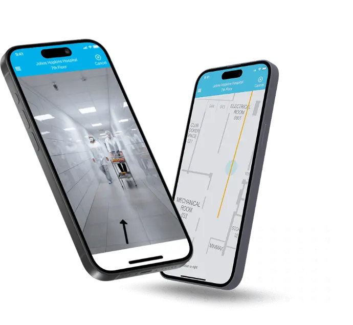
Bring geographic data to life with our 3D GIS services. Our GIS engineers develop interactive 3D visualizations of landscapes and infrastructure, ideal for urban planning, environmental mapping, and infrastructure simulation.
GIS-Based Mapping Applications
Build responsive GIS mapping applications for real-time data collection, spatial queries, and surface analysis. These apps enable better pattern recognition, hotspot identification, and decision-making using key components of geographic information systems.
Scalable GIS Database Design
Our experts design spatial databases that support efficient data storage, retrieval, and management. We utilize leading database management systems such as PostgreSQL (PostGIS), SQL Server, and Oracle to support large-scale GIS development projects.
Geofencing & Location-Based Services
Deliver contextual user experiences through custom geofencing applications. Whether it’s restricting access based on location or triggering actions through proximity, we create mobile apps that interact dynamically with user movements.
GIS Mobile App Development
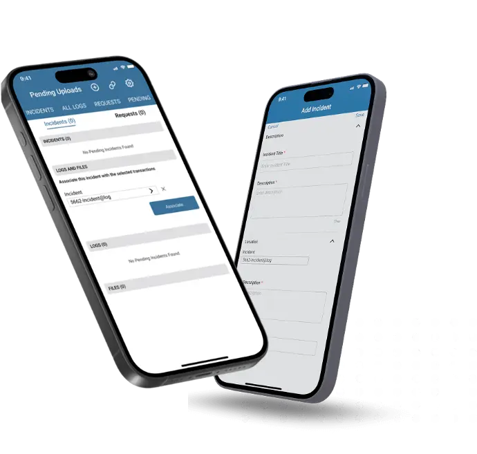
Develop mobile GIS applications that sync in real-time with GIS servers and cache spatial data for offline access. Our apps support field data collection, GPS tracking, and dynamic map rendering for both Android and iOS platforms.
GIS Software Consulting & Integration
We help businesses adopt GIS technology strategically. From tool selection to integration with third-party systems and cloud-based services, our consulting covers everything you need to optimize your geographic information system.
Geoprocessing & Geocoding Services
Convert unstructured location data into usable spatial formats. Our team applies automated and manual geoprocessing techniques to extract geospatial insights from points of interest, addresses, and landmark datasets.


